OVERVIEW
The purpose of this workshop was to communicate and gather input from Cambridge Bay community members, industry and Government employees on suitable building designs for the North. The event also introduced SAIT team members to the community and provided a walk-through virtual tour of designs implemented in the Green Building Technology research lab. This workshop was designed to refine ideas generated during earlier workshops through better understanding past and ongoing local energy efficiency projects.
PARTICIPANTS
MLA: Jeannie Hakongak Ehaloak,
Municipality: Marla Limousin, Valter Botelho-Resendes, Angela Gerbrandt
Aurora Energy Solutions: Tom Rutherdale
PI/KHS: Brendan Griebel, Pamela Gross, Sophie Pantin
CHARS: Chris Chisholm, Jason Etuangat, Bryan
SAIT: Melanie Ross, Hayley Puppato, Tom Jackman
DISCUSSION TOPICS
-
Local drinking water, grey water, and sewage systems
-
Importance of considering high efficiency appliances as a significant way of addressing many current housing issues dealing with water consumption and sewage output.
-
Creating drainage/septic systems to facilitate cultural practices surrounding food and materials preparation (animal hide skinning, waste product removal, etc.).
-
Passive solar and waste heat recovery

QINGAUQ
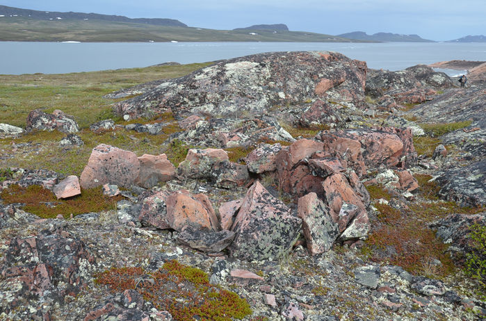
In 2018, Pitquhirnikkut Ilihautiniq / Kitikmeot Heritage Society and the University of Toronto began a five-year collaboration to investigate the Inuinnait cultural history and the archaeology of the Bathurst Inlet region. Bathurst Inlet and the surrounding area is ecologically rich and has been an important homeland to Inuinnait for centuries. The area’s rich animal populations and ecosystem sustained the Kiluhikturmiut and earlier ancestors during their inland and maritime seasonal rounds. Bathurst Inlet continues to be the last, full-time outpost community in Nunavut.
The 5 year research project is funded through SSHRC (Social Sciences and Humanities Research Council) and INAC (Indigenous and Northern Affairs Canada), and run in partnership with the University of Toronto. Our work seeks to catalogue and visualize the enduring and evolving Inuit relationship to the Bathurst Inlet landscape through a combination of archaeological excavation, satellite and community monitoring, drone mapping, language and toponymy, and oral history work.
Following on the team’s 2018 field season of on-site interviews with Elders from the Bathurst area, our 2019 research worked across historical ethnographies and contemporary land-user interviews to document changing understandings, representations, and engagements of the area’s land-human relationships. Using land-use maps drawn by local hunters during the 1971 Inuit Land Use and Occupancy Project, we compared how hunting and resource distribution patterns in the area had changed over time.
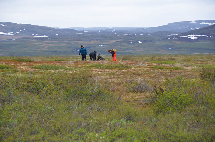
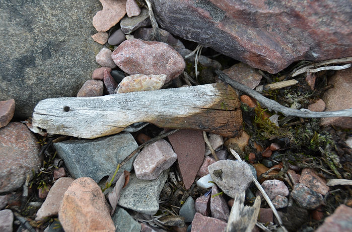
In addition to documenting contemporary uses of the land, archaeological surveys were conducted to determine past occupation patterns in the area and to continue monitor erosion indicators established the previous season. University of Toronto archaeologists Max Friesen and Taylor Thornton worked with local fieldworkers to digitally preserve existing archaeological sites and landscapes through 3D drone photography. The resulting 3D images will be entered into the PI/KHS’ Inuinnait Archaeology Atlas, where they can be explored by the public alongside Elder interviews and other documentation of the region’s past and current uses.

Arctic archaeological sites are not only important for Inuit cultural heritage, but they also provide evidence of Inuit land occupation, which is valuable in land claim and treaty negotiations. Unfortunately, because Arctic archaeological sites are in permafrost terrain, many sites are at risk of disturbance and loss as the climate warms and permafrost thaws. Coastlines and riverbanks are particularly vulnerable. Understanding the stability of the terrain helps us to prioritize which archaeological sites should be salvaged.
Natural Resources Canada (NRCan) has been helping us map the terrain stability in areas of archaeological interest around Bathurst Inlet, using radar data from the Canadian satellite RADARSAT-2 and a method called radar interferometry. Interferometry measures the distance from the satellite to the ground very precisely (mm to cm) and over time the differences in these measurements form a detailed picture of where and how much the ground is moving.
NRCan developed a new approach to combine radar measurements and create terrain at risk maps for us. These satellite derived maps are easy for archaeologists and community members to interpret and quickly identify which sites are most at risk and where to prioritize excavation or salvage efforts. Future work will try to model impacts from storm surges and high water events as well, so these risks can be included in the overall assessment.
FIGURE ABOVE Terrain at risk for an area near Anniaqhiurvik (‘where fish jump from the water’). Cream colour indicates very low risk areas, mostly bedrock outcrops or gravels. Pale reds are areas of medium risk, likely some seasonal ice or slow slope processes. Dark reds are high risk, either strong slope and erosional processes or areas containing high quantities of ground ice and thus highly vulnerable to thaw.


